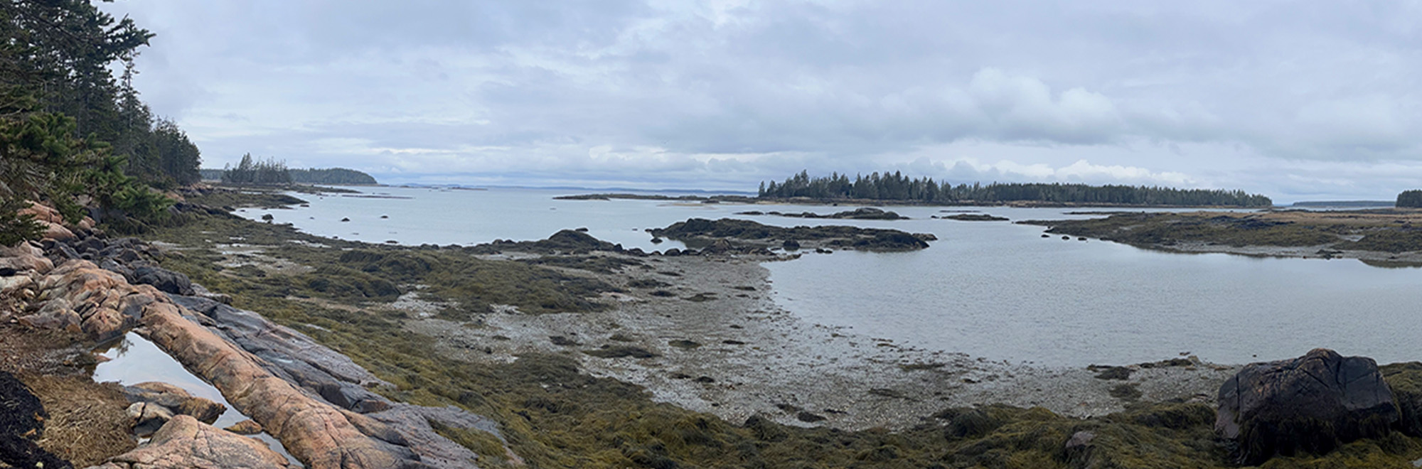
Buckle Island Harbor
Swan’s Island
Jump to
Guidelines
What You Need to Know
- No camping permitted
- No fires permitted
- Carry out all trash (see details)
- Keep pets under control
- Respect privacy of preserve neighbors
Why we Care
Explore, Discover, Protect
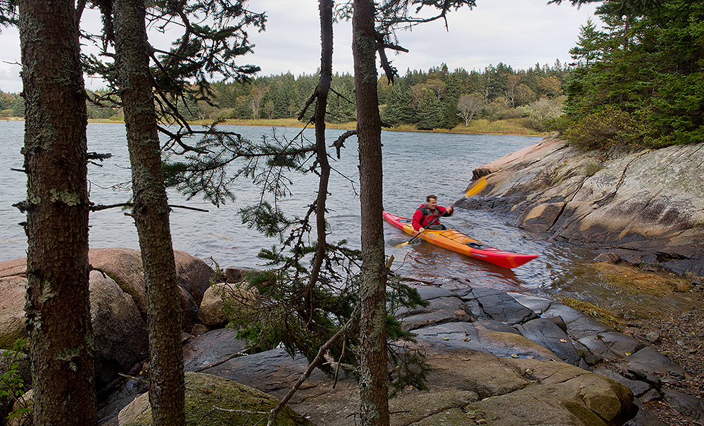
Spend the day exploring Buckle Harbor Preserve and experience why we’re proud to protect this scenic and important habitat. Enjoy the winding dirt roads that lead through serene forests to the preserve’s rugged shoreline—spotting resident songbirds and waterfowl as you walk. Paddlers can launch from the shore to explore the harbor’s cold water and nearby islands.
Features
How to Get There
To get to Swan’s Island, you can take the ferry from Bass Harbor or arrive by private boat. Boat access directly to the preserve from the water must be at a higher tide. For driving directions from the ferry terminal, see below.
Explore the Map
View this preserve’s trails and features on the interactive map or download a printable copy above.
Preserve Details
Property:
Town:
County:
Accessible:
Field Notes
Getting to Know Buckle Island Harbor
The Lay of the Land
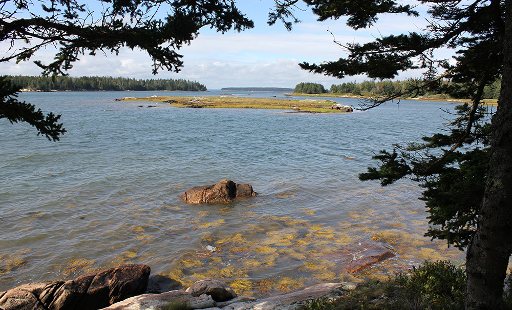
Generously donated to MCHT in 2012, the Buckle Island Harbor Preserve rises gradually from the shoreline to its eastern boundary with Garden Cove Road. The southwestern extent of the preserve features the most relief on the property, with exposed bedrock forming a low-elevation bald. Just downslope from the bald, a small forested wetland is drained by two streams that run north and northwest to the shoreline, which is a mix of salt marsh and ledge-dominated areas.
Despite its small size, the preserve is home to nine natural communities. These include maritime spruce-fir, aspen-birch, red spruce-mixed conifer, spruce-fir-cinnamon fern alder shrub thicket, early successional, low-elevation bald, mixed graminoid-forb saltmarsh, and seaside goldenrod-goosetongue open headland. Much of the current vegetation is mid-successional, a relic of past clearing that will likely revert to a maritime spruce-fir forest.
An Important Habitat
The State of Maine has identified important tidal wading bird and waterfowl habitat, eelgrass beds, softshell clam habitat, and blue mussel habitat all along the shoreline and mudflats of Buckle Island Harbor. A bald eagle pair has also nested on nearby Hen Island, highlighting the importance of the region’s conservation.
Stories from Mount Desert Island
World Fish Migration Day
Maine Coast Heritage Trust (MCHT) will join partners and communities across the state on May 23, 2026 for a series of locally led events to celebrate migratory fish, river restoration, and the partnerships driving this conservation work forward. World Fish Migration Day activities will take place from York County to eastern Washington County on the Mousam, Bagaduce, Sheepscot, Orange, and Narraguagus Rivers, all part of MCHT’s multi‑year Rivers Initiative.
Be part of the movement

Contribute to a future with
healthy, open lands & waters
Donate Now

Give your time to help
care for the coast
Volunteer Now

Be a champion
for conservation
Spread the Word
More Information on Buckle Island Harbor
Getting to the Trailhead
From the ferry terminal, follow Ferry Road south for 0.5 miles. Turn right onto Atlantic Road and drive 1.7 miles, then stay right onto Harbor Road. After 0.5 miles, bear right onto North Road. Follow North Road for 1.2 miles before bearing left onto the gravel Killam Road. Continue for 0.3 miles to reach the parking area near the shoreline.
Help Us Take Care of the Preserve
This preserve belongs to all of us; that’s why it’s important to leave as little trace as possible when you visit.
To do that, please:
- Carry out all trash
- Carry out all pet waste
- Carry out all human waste (including toilet paper)