Witherle Woods
Castine
Jump to
GUIDELINES
What You Need to Know
- No camping permitted
- No fires permitted
- Stay on established trails
- No motorized vehicles
- Carry out all trash (see details)
- Keep pets under control
- Respect privacy of preserve neighbors
- Do not remove artifacts


WHY WE CARE
Steeped in History
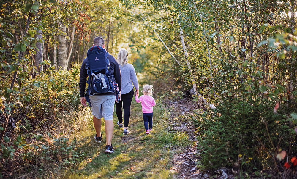
Put on your hiking shoes and explore a coastal preserve where more than 4.3 miles of paths wind through a scenic landscape rich with military history. Visitors can take a walk back in time to discover sites that witnessed American and British troops during our nation’s earliest battles for independence. In the winter, this historic landscape’s snow-covered trails are groomed by volunteers for cross-country skiing.
Features
How to Get There
From the junction of Routes 166 and 166A in Castine, follow Route 166 south for 0.9 miles. At the top of a hill, continue right at a sharp bend onto Battle Avenue and drive for 0.8 miles to the preserve on your right. Parking is available along the fence line (please do not block the gate).
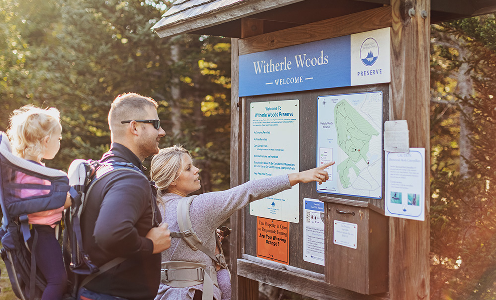
Explore the Map
View this preserve’s trails and features on the interactive map or download a printable copy above.
Preserve Details
Property:
Town:
County:
Accessible:
FIELD NOTES
Getting to Know Witherle Woods
The Path to Conservation
Witherle Woods is anchored by the original gift of the 97-acre Hatch Natural Area, which came to MCHT in September 23, 1985.
Nearly ten years later, on July 18, 1995, the Foote family donated the abutting 36-acre Frederick Foote Family Natural Area, which included land with trails connected to the Hatch parcel, 280’ of additional shore front and additional historical features. In 2002 MCHT purchased the 19-acre “Bowling Alley” lot from the estate of Iva Lee Perkins, further protecting a section of the original trail leading to Block House Point and in combination with the first two parcels, protecting most of the original Witherle Woods. The Dice Head area of the preserve was given to MCHT on November 11, 2006, and included 31 additional acres.
Finally, the Foote family generously donated a stretch of land between Battle Avenue and the existing preserve, allowing for a new footpath entrance.
On the Preserve
This 193-acre preserve on scenic Castine peninsula features a forest of red and white spruce, balsam fir, white pine, and several hardwood stands. Over the past decade, the woods have experienced a high level of mortality due to old age and insect damage. After storms in 2007-2008 caused major blowdowns, MCHT worked with a forester and logger to salvage the timber, ensure public safety, and prepare for a healthy future forest.
In 2025, MCHT began a partnership with the Maine Maritime Academy, the Maine Forest Service, and the local Fire Department to establish a half-mile long shaded fuel break along the old carriage road paralleling the preserve’s southeast border above the village. This is why when you walk through the preserve, you will see a stretch of “parklike” forest. This is where MCHT and community partners are collaborating to reduce wildfire risk.
Walk Through History
Begin at the Battle Avenue parking area and follow the dirt road to the kiosk near the top of the hill. Turn right, hike past the remains of a forward battery constructed here in 1779, and continue to the third trail junction. Bear left onto the wide path as it descends gradually for about three-quarters of a mile to the former Furieuse Battery 1 site, built in 1814 by the British. The trail quickly reaches a short spur on the left that rises to the Lookout, a vantage point from which British troops occupying Castine watched for enemy forces approaching on Penobscot Bay.
Past the spur, the main trail continues past the Furieuse Battery 2 site to a junction with the Indian Trail. Turn right and follow the trail as it descends steeply towards the water’s edge. The path then turns left to parallel Penobscot Bay, occasionally offering scenic views. Eventually, the path swings sharply left and climbs the steep hillside. At the next trail junction, turn left and then take the next two rights to return to the kiosk and complete the loop.

STORIES FROM THE MIDCOAST
Deepening Our Connections to Nature and One Another
Our stories remind us why we commit ourselves to the work of conservation. Here in Maine, nature is still big and bold enough to remind us that we are part of it. We want to make sure this remains true.
Be part of the movement

Contribute to a future with
healthy, open lands & waters
Donate Now

Give your time to help
care for the coast
Volunteer Now

Be a champion
for conservation
Spread the Word
More Information on Witherle Woods
Help Us Take Care of the Preserve
This preserve belongs to all of us; that’s why it’s important to leave as little trace as possible when you visit.
To do that, please:
- Carry out all trash
- Carry out all pet waste
- Carry out all human waste (including toilet paper)