Monroe Island
Owls Head
Jump to
Guidelines
What You Need to Know
- Camp at established campsites (with restrictions)
- Campfires permitted (guidelines below)
- Stay on established trails
- Carry out all trash (see details)
- Keep pets under control


Preserve Alert: Boaters and visitors should not use the float and ramp until further notice. The structure is unstable and in need of repairs.
Why we Care
Explore, Discover, Protect
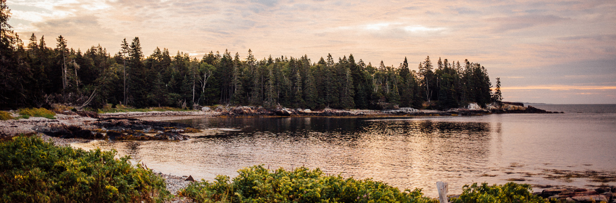
Navigate the cold waters off Owls Head to discover an island of inviting beaches and a 2.0-mile trail network winding through dense evergreen forest, small man-made ponds, and scenic shoreline. Find your perfect picnic spot, spend a night under the stars, and explore a vital habitat that is a place for all of us to protect.
Features
How to Get There
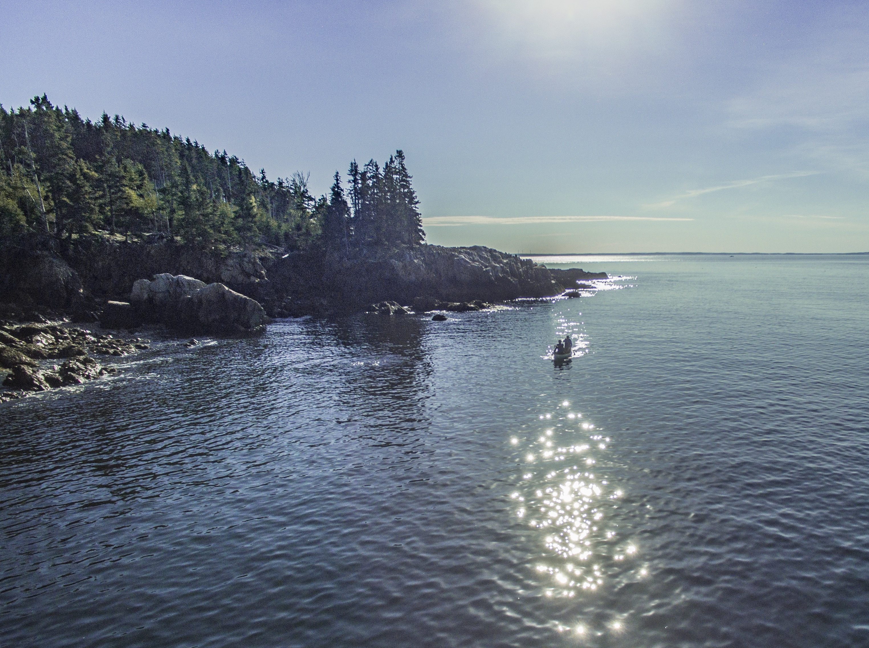
Access the Island from the all-tide, paved public boat launch on Mechanic Street in Rockland (just over four miles) or Richard Carver Harbor Park on Lighthouse Road in Owls Head (about 0.5 miles, hand-carried boats only). Approach the island’s six beaches from the west where small boats can safely land (see map), as well as a dock with seasonal ramp and float.
Note: Due to wave and wake activity, the float is not suitable for extended tie-ups. Use only for loading and unloading passengers—be prepared to anchor and row ashore.
Explore the Map
View this preserve’s trails and features on the interactive map or download a printable copy above.
Preserve Details
Property:
Town:
County:
Accessible:
Field Notes
Getting to Know Monroe Island
The Path to Conservation
Beginning in the 1940s, Monroe Island was owned by the Faunce family who managed it for forestry and as a wildlife sanctuary. They protected much of the island with conservation easements held by the Maine Department of Inland Fisheries and Wildlife and MCHT. In 2018, the Faunce family sold the island to MCHT to ensure permanent protection of the entire island, as well as guarantee public access.
On the Island
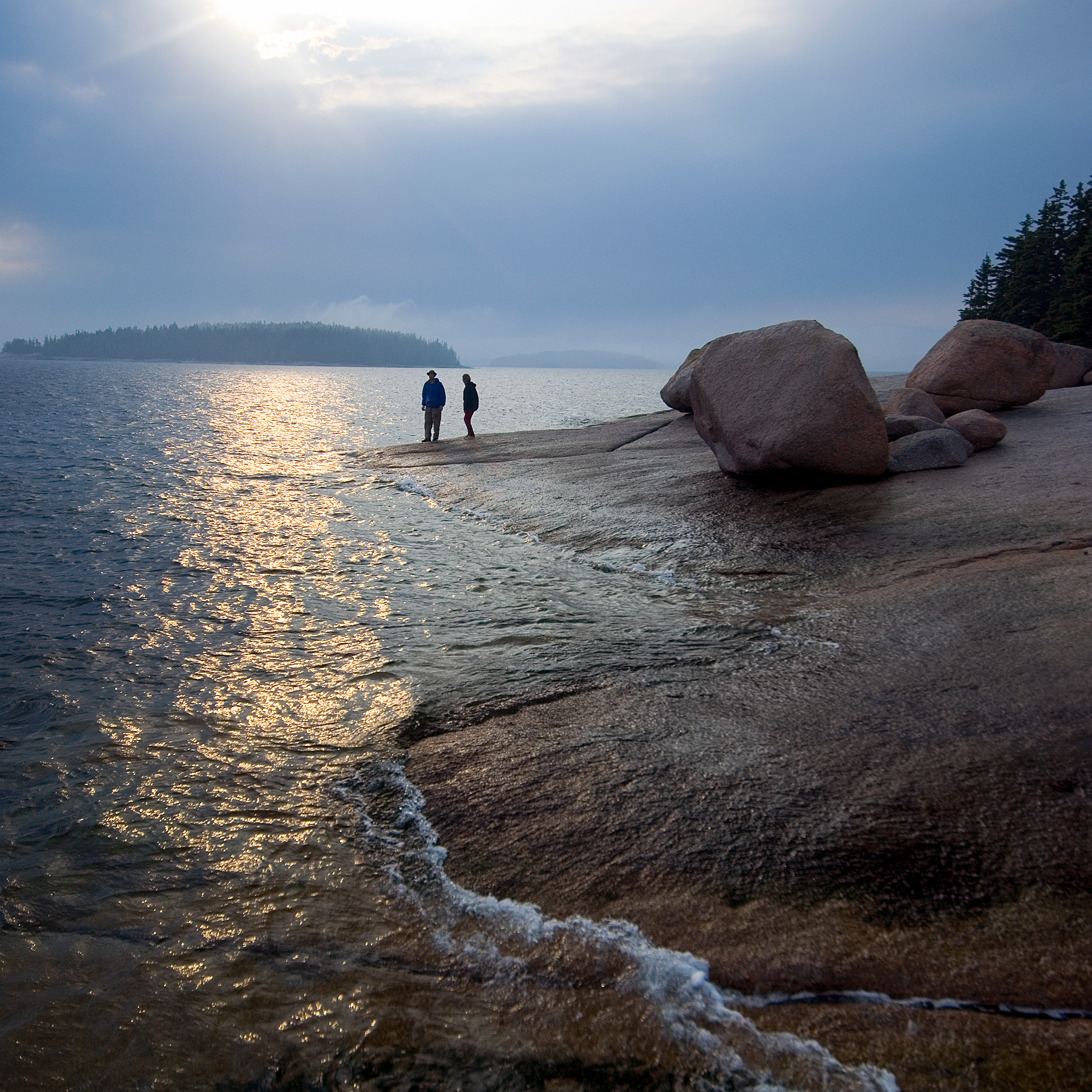
Monroe Island offers a variety of habitat types including freshwater ponds, forested wetlands, early successional uplands, brackish marsh, and beaches. While the preserve is predominantly forested, there are a few clearings and five man-made wildlife ponds. Most of the shoreline is steep and rocky.
Be on the lookout as you explore. The island’s diverse habitat attracts many wildlife species, including deer, otter, salamanders, and numerous bird species.
If the Island Could Talk
There are many signs of human activity on the island. The previous owner developed a network of woods roads, some of which form the preserve’s two miles of hiking trail. In addition, there are remains of stone walls and fencing, as well as culverts at road crossings and man-made ponds. At the northern tip of the island are the remains of a former U.S. Naval range tower used to assess the speeds of Navy ships.

More Information on Monroe Island
Camping on the Island
Camping is only permitted at established campsites with stays limited to two nights.
Groups of 6 or more and commercial use by permit only. Please call (207) 729-7366 or send us an email to request a permit.
Campfires on the Island
While campfires are permitted, they must be smaller than 3 feet. Check with the Town of Owls Head for any additional restrictions.
Additional Guidelines:
- Fires only permitted in established fire rings
- Do not cut or break tree limbs, dead or alive
- Leave no fire unattended
- Completely extinguish all fires
Overnight Parking
Overnight parking available at Richard Carver Harbor Park with free permit from Owls Head Town Office, (207) 594-7434.
Help Us Take Care of the Preserve
This preserve belongs to all of us; that’s why it’s important to leave as little trace as possible when you visit.
To do that, please:
- Carry out all trash
- Carry out all pet waste
- Carry out all human waste (including toilet paper)
Check for Ticks
Ticks are common on Monroe Island.. Protect yourself from potential bites by following current recommended protocols, including:
- Staying on established trails
- Wearing light colors and tucking in your shirts and socks
- Use insect repellent
- Check your body during and after every visit
Stories from the Midcoast
History of Merchant Row
Maine Coast Heritage Trust cares for eleven island preserves in the Merchant Row archipelago. Their histories are outlined in this overview.
Be part of the movement

Contribute to a future with
healthy, open lands & waters
Donate Now

Give your time to help
care for the coast
Volunteer Now

Be a champion
for conservation
Spread the Word