Meserve Head
Machias
Jump to
GUIDELINES
What You Need to Know
- No camping permitted
- No fires permitted
- Carry out all trash (see details)
- Respect privacy of preserve neighbors
- Do not remove archaeological artifacts
WHY WE CARE
A Walk Through History
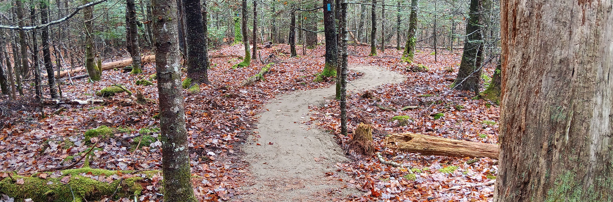
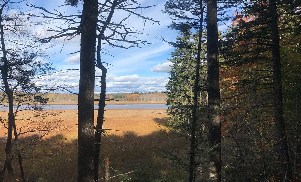
Home to wildlife ranging from white-tailed deer to snowshoe hare and a variety of bird species, Meserve Head is a diverse habitat we’re proud to protect. While on the preserve, you can enjoy a relaxing 0.6-mile stroll winding through history, including an old homestead and mid-nineteenth century cemetery. The short trail ends with a scenic overlook of the Machias River, but be prepared for uneven surfaces including roots, rocks, bog bridging, and small bridges along the way.
Features
How to Get There
From Route 1 in Machias (just south of where the road crosses the Machias River), turn east onto Route 92 (becomes Elm Street). Continue 1.2 miles to reach the parking area on the left.
Explore the Map
Click on trails and landmarks to learn more about what Meserve Head has to offer.
Preserve Details
Property:
Town:
County:
Accessible:
FIELD NOTES
Getting to Know Meserve Head
The Path to Conservation
MCHT acquired the Meserve Head property thanks to a generous donation from the previous owner in 2020.
On the Preserve
The 71-acre Meserve Head Preserve rises from the southern shore of the Machias River, just east of downtown Machias. The property is mostly forested in a mix of spruce and northern hardwoods and includes roughly 23 acres of salt marsh along the river. The preserve is named for the central high point, Meserve Head, which was in turn named for the first known European family to inhabit the land.
The preserve features varied and interesting topography, two small freshwater wetlands, and many ephemeral drainages leading to the river. Look for the remains of 1700s- and 1800s-era human settlement, including old woods roads and a cemetery with weathered gravestones. At least six mammal species inhabit the preserve (white-tailed deer, snowshoe hare, otter, raccoon, chipmunks, and red squirrel) and dozens of bird species have been identified. Please do not approach the active bald eagle nest located in a large white pine along the river’s edge.
Steeped in History
The Meserve family first settled the land now known as the preserve in the late 1700s and lived here until at least 1881. The property then passed out of their ownership and into that of the Libby family, and then the Small family. By 1975, the property was essentially abandoned.
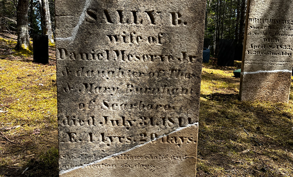
Evidence of the early settlement is still plentiful today. You can find remains of two distinct areas of occupation—both with old cellar holes, compacted ground, dug wells, and woods roads. A third settled area has been identified as the site of a possible sawmill, though little is definitively known. Of perhaps greatest historical interest is the Meserve family burial ground, located just south of the central high point. There are thought to be 13 people interred here, with the last burial date in 1853.

STORIES FROM DOWNEAST
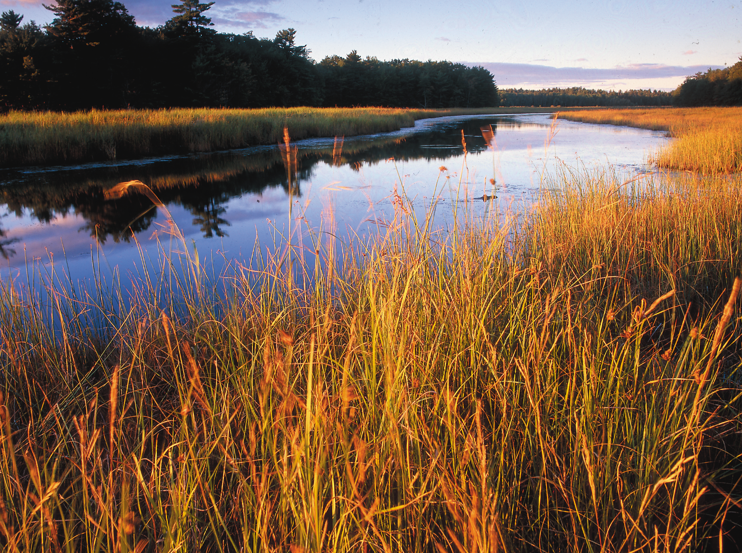
How We’re Restoring Marshes
Many tidal marshes in Maine aren’t working the way they’re supposed to, but through restoration we can improve chances of successful marsh migration as sea levels rise in the decades to come.
Be part of the movement

Contribute to a future with
healthy, open lands & waters
Donate Now

Give your time to help
care for the coast
Volunteer Now

Be a champion
for conservation
Spread the Word
More Information on Meserve Head
Help Us Take Care of the Preserve
This preserve belongs to all of us; that’s why it’s important to leave as little trace as possible when you visit.
To do that, please:
- Carry out all trash
- Carry out all pet waste
- Carry out all human waste (including toilet paper)