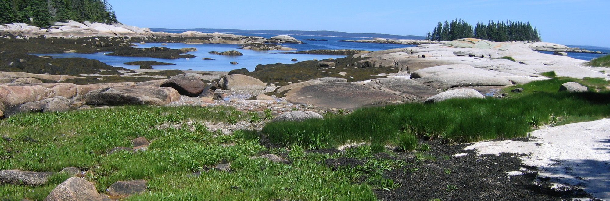
Merchant Row
Stonington
Nathan Island Closure Notice: The entire preserve and campsite on Nathan Island is closed until August 1st, 2026 due to Bald Eagle chicks in a nest very close to the campsite. Please give these eagles their space and refrain from landing on the island while they are present.
Guidelines
What You Need to Know
- Camp at established campsites (with restrictions)
- Campfires permitted (guidelines below)
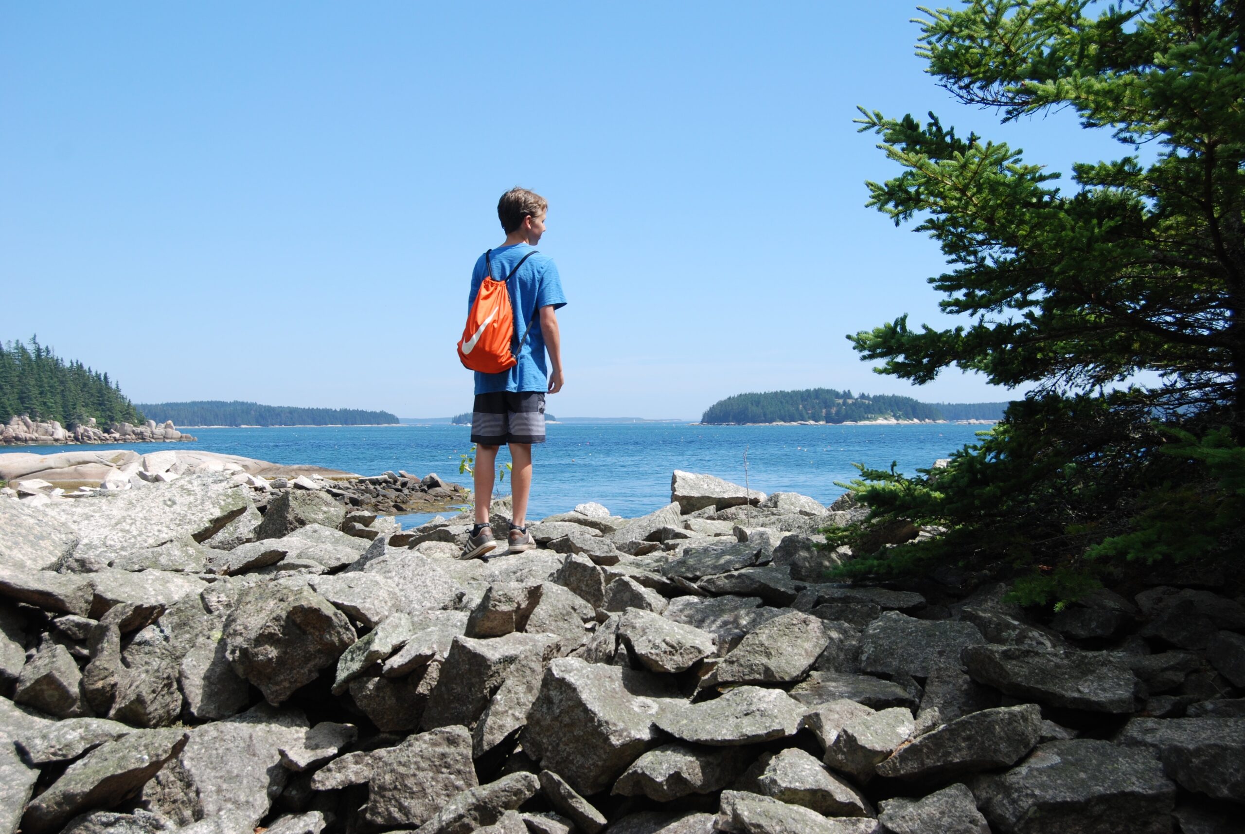
- Foot traffic only (not suitable for wheeled vehicles)
- Carry out all trash (see details)
- Keep pets under control
- Do not remove artifacts
Why we Care
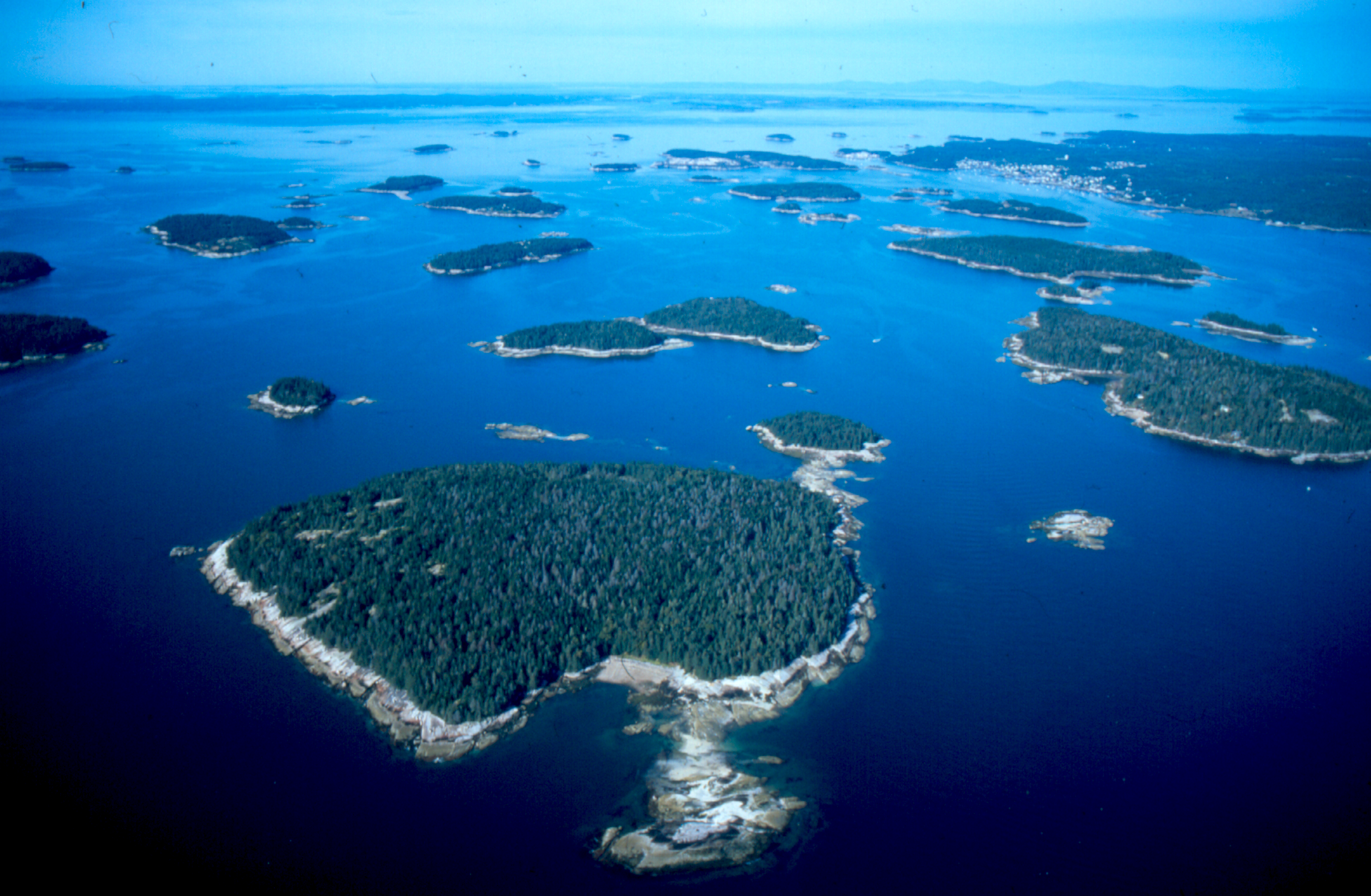
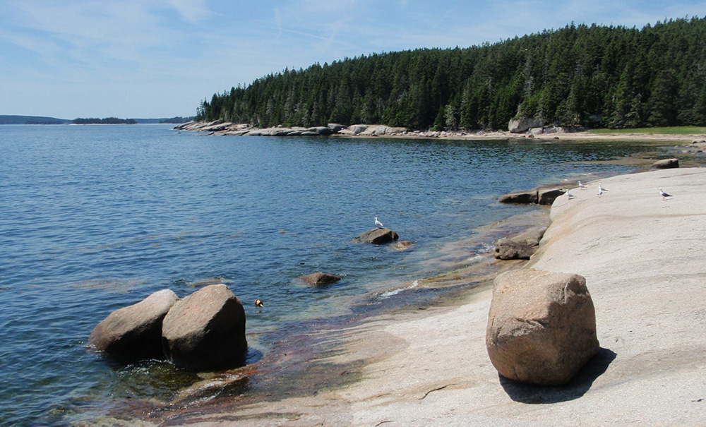
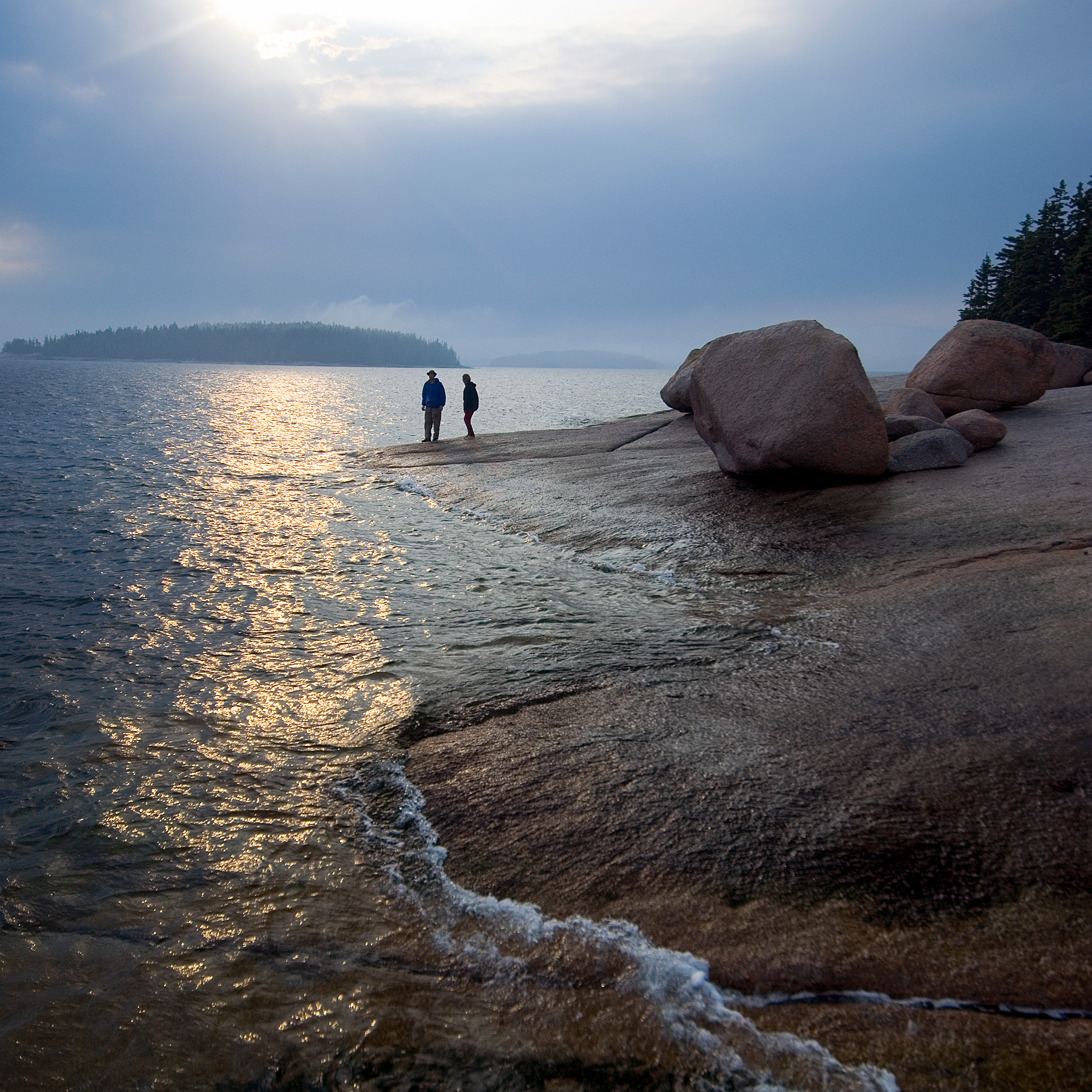
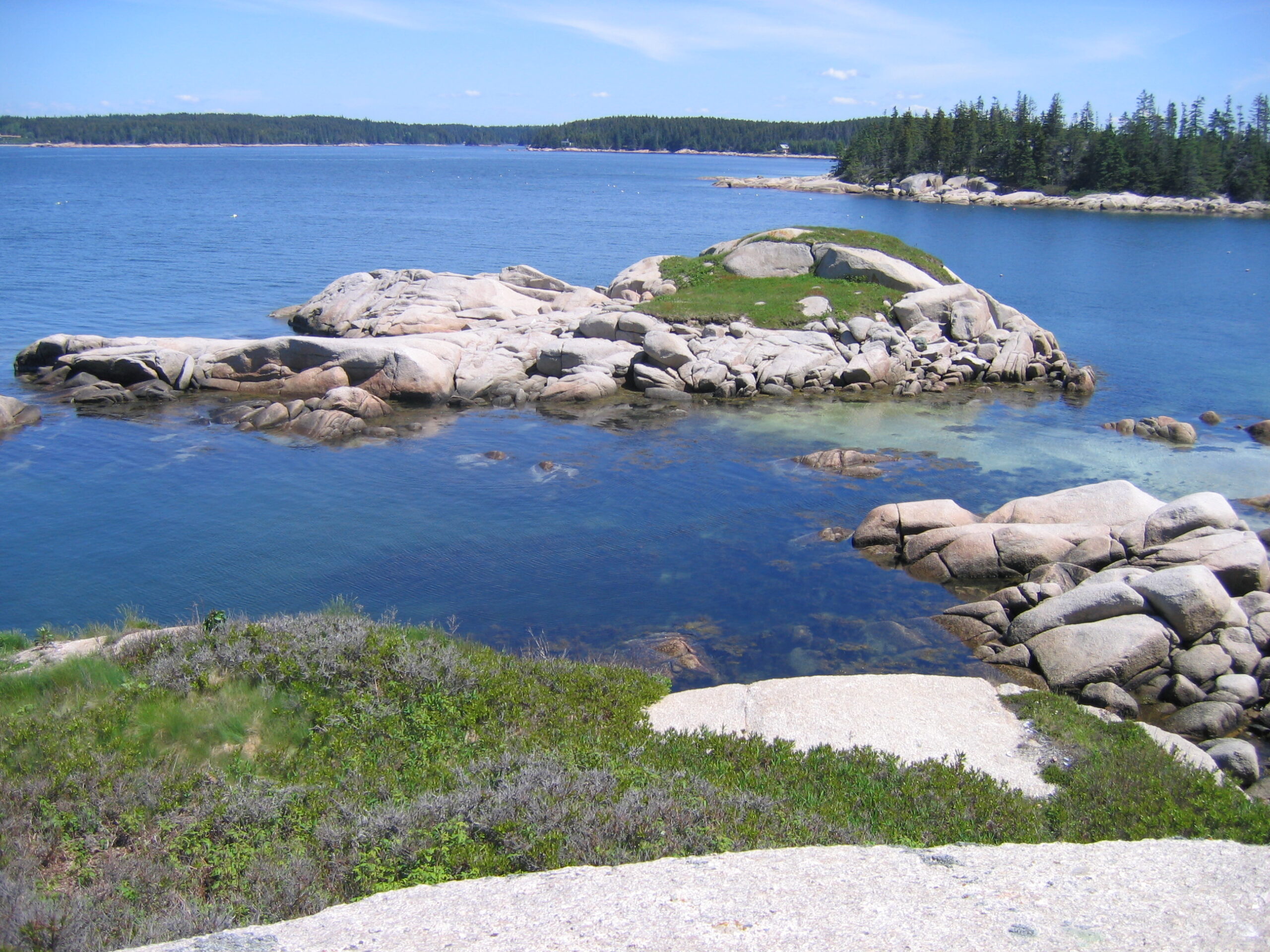
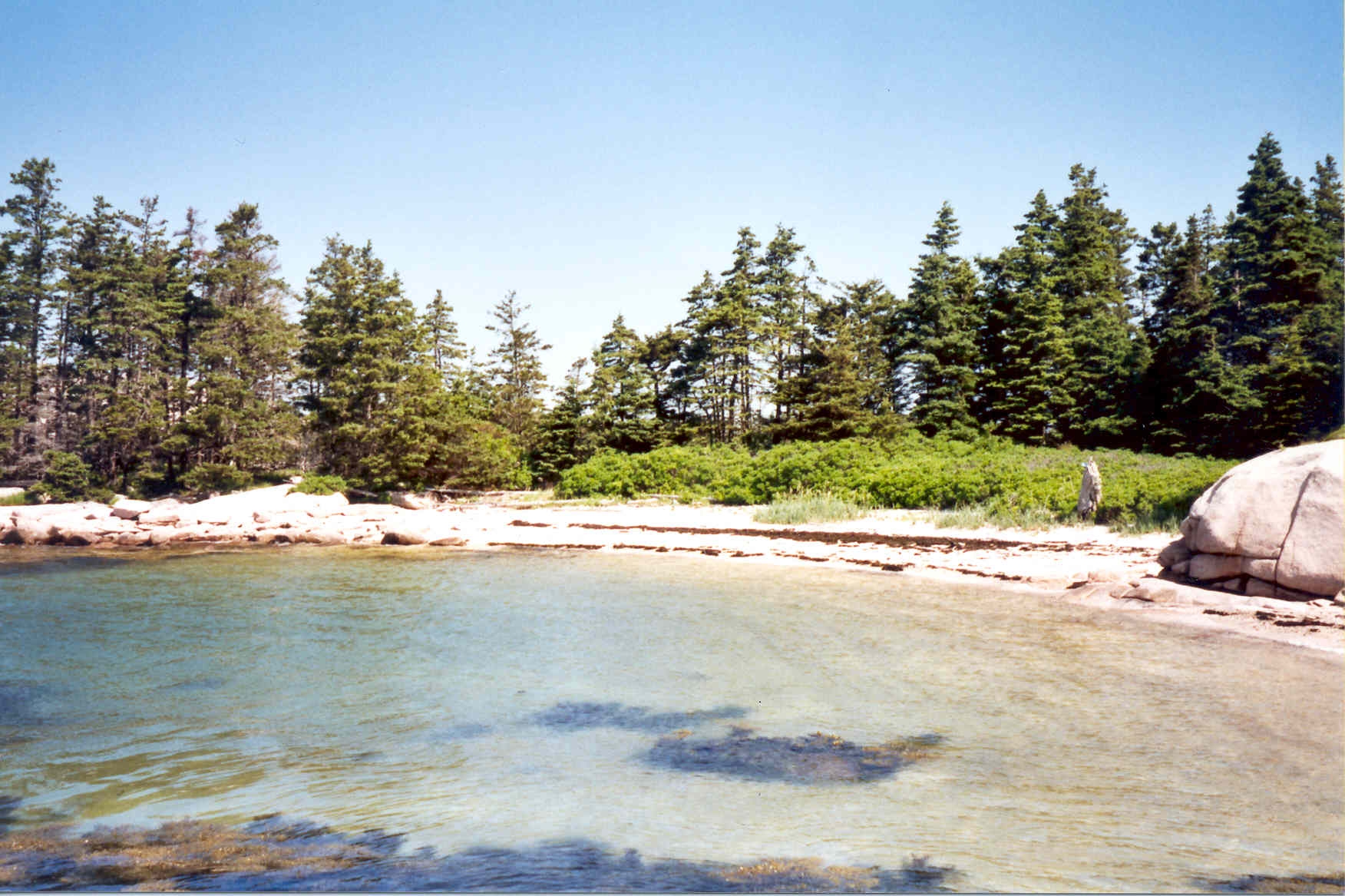
Many Islands, Endless Adventure
From secluded campsites to sandy beaches and granite-lined coastlines, Merchant Row is more than a collection of scenic islands. It’s an astonishing escape to paddle, explore, and camp—a place to preserve for generations to come.
Features
How to Get There
The nearest public boat launch is located in Stonington. Also called the “Colwell Boat Ramp,” it is just behind the Isle au Haut Boat Services buildings on Seabreeze Avenue in downtown Stonington. Cowell offers no public parking at the boat launch site, but paid parking is available at the Isle au Haut Boat Services.
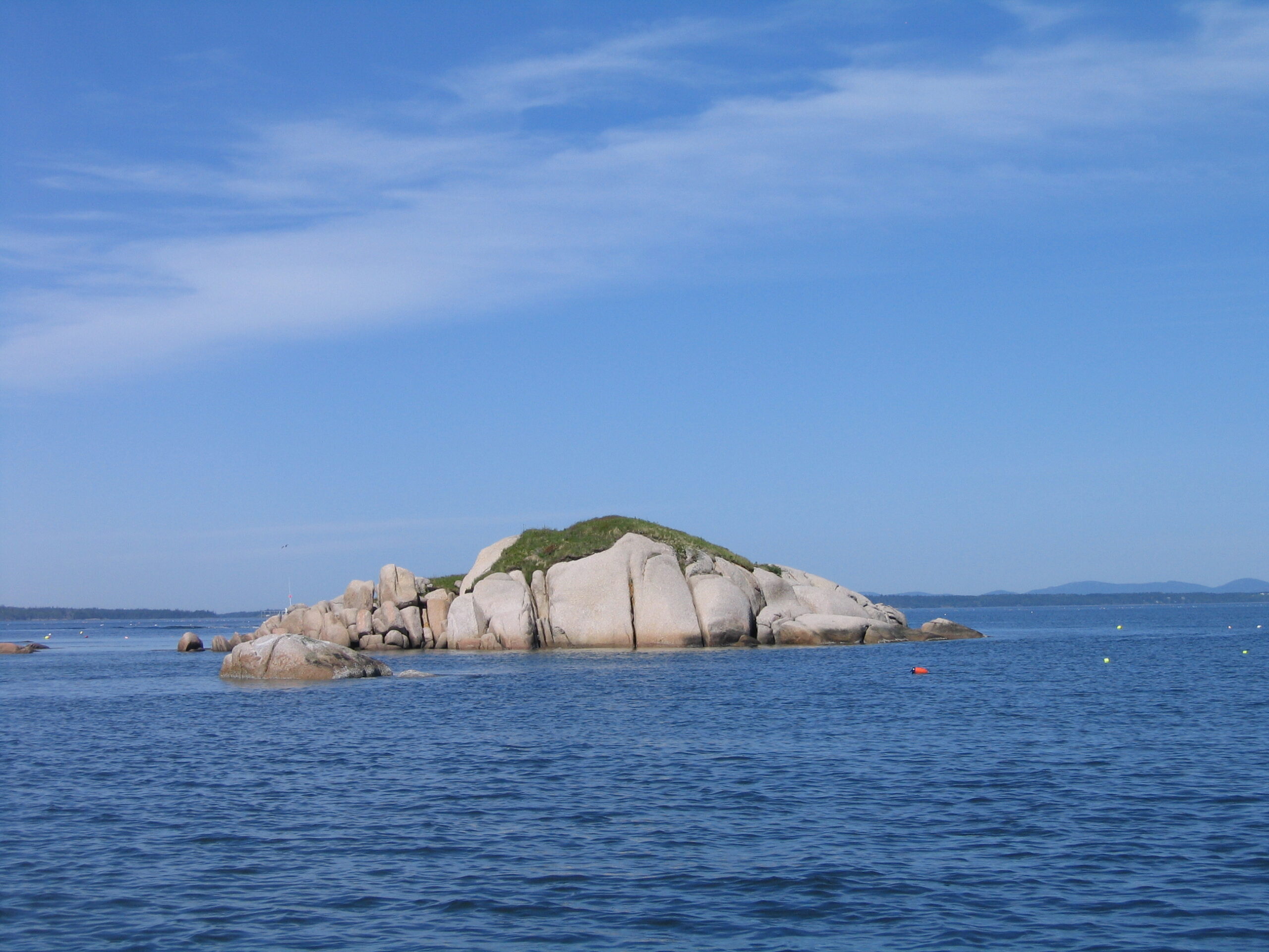
Merchant Row’s Islands
Saddleback Island
Located on the eastern edge of the archipelago, 78-acre Saddleback Island is made up of smooth granite ledges, a few small sandy beaches, and an inlet accessible only during high tide. Saddleback Island has a dedicated preserve page. Check it out for the most detailed information.
A loop trail begins at the north side beach, where you’ll also find a small campsite. There is a small cabin on the south side of the island. It is seasonally rented on a limited basis. Contact us for more information. Download a printable preserve map of Saddleback Island (PDF).
Enchanted Island
Just south of Saddleback Island, this 5-acre gem lies on the eastern edge of Merchant Row. Visitors will discover an attractive beach on its western shore, a perfect place for picnicking. The island’s thickly forested interior is otherwise surrounded by granite ledges.
Green Island
Most visitors to 48-acre Green Island head to its southeastern side to a small cove where a ladder on the old granite wharf provides access to a small meadow, a loop trail, and a swimming hole in an old quarry.
Caution is advised due to old quarry stones, metal objects, and unsupervised swimming. Download a printable preserve map of Green Island (PDF).
Sand Island
Nearly one mile west of Green Island and just south of Crotch Island is MCHT’s 10-acre Sand Island Preserve. This relatively flat island boasts a shoreline of bold granite ledges and a few pocket beaches. The sandy beach on the island’s western side is a popular place for picnickers.
Gooseberry
Located on the southeastern edge of the archipelago, 5-acre Gooseberry Island features a shoreline of pink granite ledges, interspersed with pockets of sand and shell beaches. Though small, its much-loved swimming cove and ledges are popular for picnicking and sunbathing.
Bills Island
Ringed with wide, flat granite ledges, 5-acre Bills Island sits on the southern side of the Merchant Row archipelago. Most of the island is covered in spruce-fir forests interspersed by grassy meadow.
Nathan and Little Nathan Islands
Nathan Island Closure Notice: The entire preserve and campsite on Nathan Island is currently closed until August 1st, 2026 due to Bald Eagle chicks in a nest very close to the campsite. Please give these eagles their space and refrain from landing on the island while they are present.
Connected at low tide by intertidal ledges and flats, 5-acre Nathan and its much smaller neighbor Little Nathan (less than one acre) are roughly a mile north of the town landing in Isle Au Haut. The best landing site is on the island’s south side.
Little Camp Island
This 2.8-acre island lies a little more than one mile east-southeast of the Stonington town landing. The largely treeless island is a popular picnic and clambake destination. Visitors enjoy its weathered shoreline and scenic vistas. Skiffs and kayaks may land at all tides on either one of two small beaches on the southwestern and north sides of the island. Larger boats may anchor to the north.
The Fort
Stonington, on the northwestern corner of Merchant Row. The Fort Preserve features two sand beaches, a couple of well-defined narrow paths, and includes “Little Fort,” a smaller rocky island accessible to the north during low tides. Look for the best anchoring and landing spot on the beach located on the main island’s eastern side.
Pell Island
Located in the town of Isle au Haut, this 28-acre island preserve includes a mix of spruce-fir forest and hay-scented fern patches. Visitors to the island will discover a shoreline ringed with bedrock ledge interspersed with a handful of beautiful, sandy beaches.
Andrews Island
Bold granite ledge rings the entire shoreline of this 12.5-acre island preserve in Stonington. Physical access to the island is challenging as there are no beaches and no obvious places to land. Landing is best suited to kayaks and dinghies, which, under calm conditions, may be pulled up on the smooth granite shoreline in a few places.
McGlathery and Little McGlathery Islands
This large island and its much smaller neighbor comprise 158 acres in the south-central corner of Merchant Row. While donated to MCHT in 2021, the two islands have a long history of conservation dating back to the 1950s. Merchant Row travelers will find popular anchorage sites near the northern and southwestern portions of the larger island. There are ample opportunities for beachcombing and picnicking along the expansive shoreline.
Other Islands Open to the Public
There are many other islands in Merchant Row that offer public access, such as, Wreck, Round, and Millet Islands (owned and managed by Island Heritage Trust); and Harbor, Hell’s Half-Acre, and Steve Islands (owned and managed by the Maine Department of Agriculture, Conservation, and Forestry).
Field Notes
Getting to Know Merchant Row
The Path to Conservation
MCHT acquired these island preserves over multiple years with the help of generous landowners and financial contributions from many supporters.
On the Archipelago
Merchant Row is the body of water between Stonington and Isle Au Haut in Hancock and Knox Counties, home to a cluster of more than 50 islands. Two-thirds of the islands enjoy protection either in fee or through a conservation easement.
A Rich History
The islands of Merchant Row have fascinating social, geological and cultural histories.
More Information on Merchant Row Preserves
Camping on Merchant Row
Camping is only permitted at established campsites with stays limited to two nights.
Groups of 6 or more and commercial use by permit only. Please call 207-729-7366.
Campfires on Merchant Row
While campfires are permitted, they must be smaller than 3 feet. Check with the local government for any additional restrictions.
Additional Guidelines:
- Keep all fires below high tide line
- Do not cut or break tree limbs, dead or alive
- Leave no fire unattended
- Completely extinguish all fires
Help Us Take Care of the Preserve
This preserve belongs to all of us; that’s why it’s important to leave as little trace as possible when you visit.
To do that, please:
- Carry out all trash
- Carry out all pet waste
- Carry out all human waste (including toilet paper)
Stories from the Midcoast
History of Merchant Row
Maine Coast Heritage Trust cares for eleven island preserves in the Merchant Row archipelago. Their histories are outlined in this overview.
Be part of the movement

Contribute to a future with
healthy, open lands & waters
Donate Now

Give your time to help
care for the coast
Volunteer Now

Be a champion
for conservation
Spread the Word