
Loring Cove
Perry
Jump to
GUIDELINES
What You Need to Know
- No camping permitted
- No fires permitted
- Carry out all trash (see details)
- Keep pets under control
- Respect privacy of preserve neighbors
WHY WE CARE
Explore a Vital Habitat
Take in sweeping views of sea cliffs, Passamaquoddy Bay, and St. Andrews, Canada, as you explore the shoreline at low tide. Be sure to bring your binoculars to catch a glimpse of songbirds calling within the mixed forest or waterfowl and wading birds feeding in the saltmarsh and along the bay. Launch a kayak or small boat to discover quiet coves and scenic stretches of coast—and know that we’re committed to protecting this special landscape.
Features
How to Get There
Directions should say: Driving east on Rt One into the town of Perry, pass the turn to Rt 190 and continue east over Boyden Stream. Take your next right on to the Shore Road. Drive 3.4 miles and then turn Right on the Gin Cove Road. Continue .4 miles and you will see the Loring Cove parking area on your right just after a small stream on a sharp corner.
Explore the Map
View this preserve’s trails and features on the interactive map or download a printable copy above.
Preserve Details
Property:
Town:
County:
Accessible:
FIELD NOTES
Getting to Know Loring Cove
On the Preserve
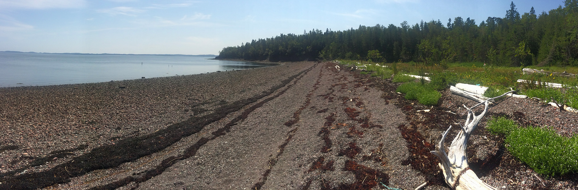
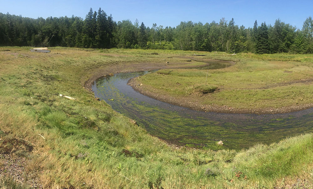
MCHT acquired the 13-acre Loring Cove Preserve in 2016. The property features 1,700 feet of saltwater frontage on Loring Cove in Passamaquoddy Bay, including mixed maturing forest and tidal wetland. Loring Cove’s signature feature is its gravel barrier beach that stretches north across the front of a fringing salt marsh, with a narrow spit forming the southern edge of the tidal channel.
Though small, the preserve offers a good mix of habitat types, with both forested uplands and wetlands, early and later-successional forests, and fringing Spartina saltmarsh. Loring Cove is also home to state-designated Significant Tidal Waterfowl and Wading Bird Habitat within an emergent wetland complex. The saltmarsh, though not extensive, provides excellent habitat for numerous species of waterfowl, wading birds, and shorebirds.
Beach Access & Tides
The beach is only accessible for two hours either side of low tide. Hikers must be aware of the tides since staying on the beach beyond two hours past low tide may leave you stranded. A tide chart is posted on the kiosk at the parking area. Access beyond the parking area is limited to foot traffic only.
A Working Cove
What is now the Loring Cove Preserve has historically been used by fishermen since the 1800s. Fish weirs to capture herring were constructed around the cove and were tended until around 2000. Commercial fishermen continue to use this site to access the water and tend to a newer weir built in 2019.

Stories from Downeast
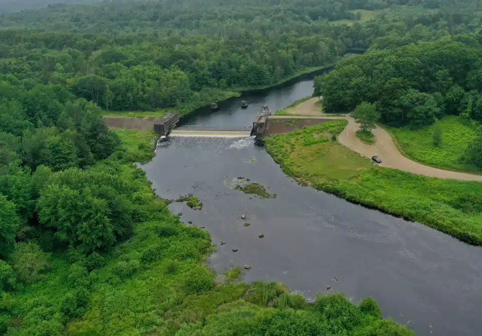
Nature Connects: Fish Passage, Flood Control, and a Town United
On the Narraguagus River in Cherryfield, a community-focused restoration effort serves as a model for re-opening sea-run fish pathways.
Be part of the movement

Contribute to a future with
healthy, open lands & waters
Donate Now

Give your time to help
care for the coast
Volunteer Now

Be a champion
for conservation
Spread the Word
More Information on Loring Cove
Help Us Take Care of the Preserve
This preserve belongs to all of us; that’s why it’s important to leave as little trace as possible when you visit.
To do that, please:
- Carry out all trash
- Carry out all pet waste
- Carry out all human waste (including toilet paper)