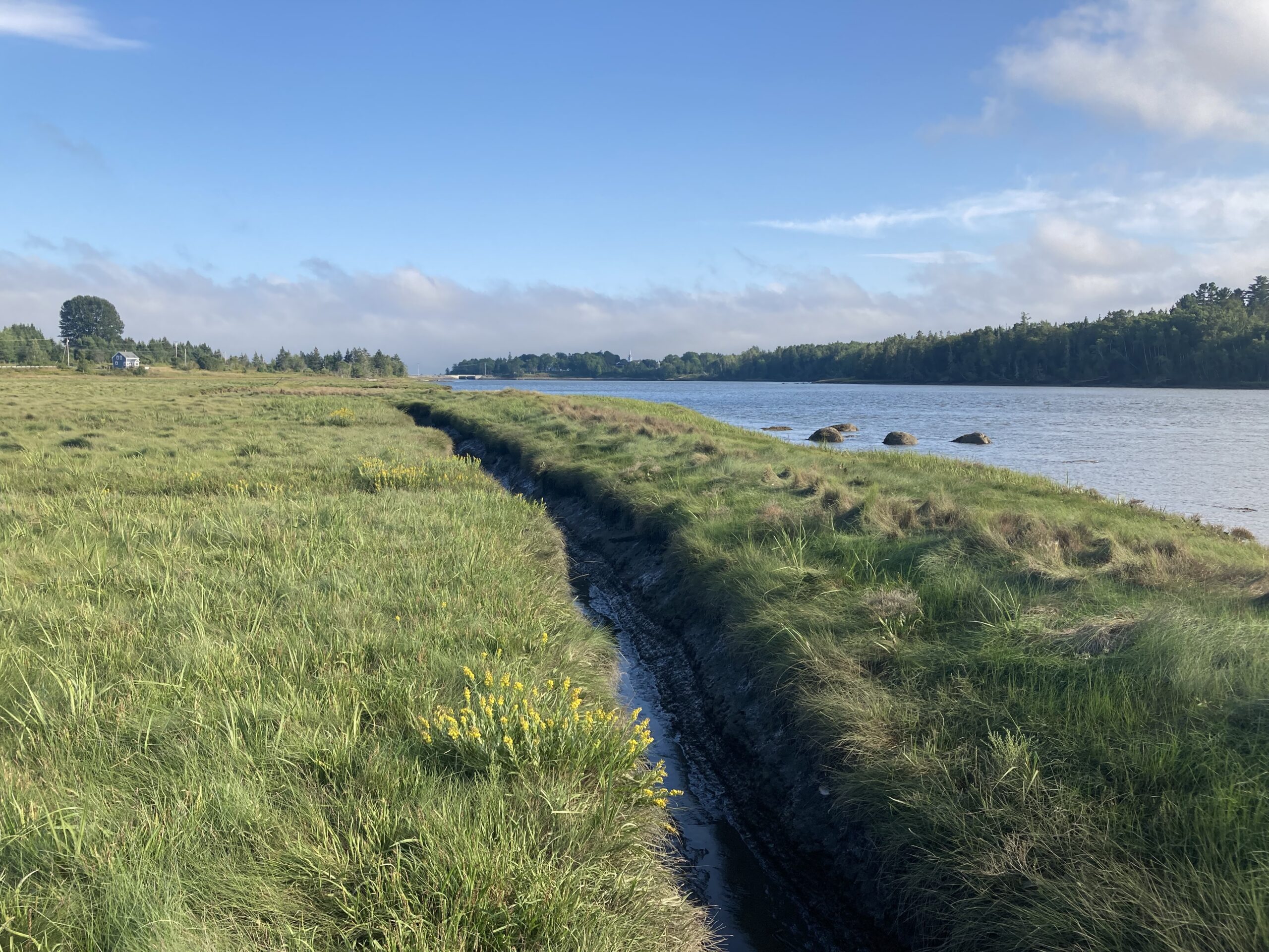
Narraguagus River
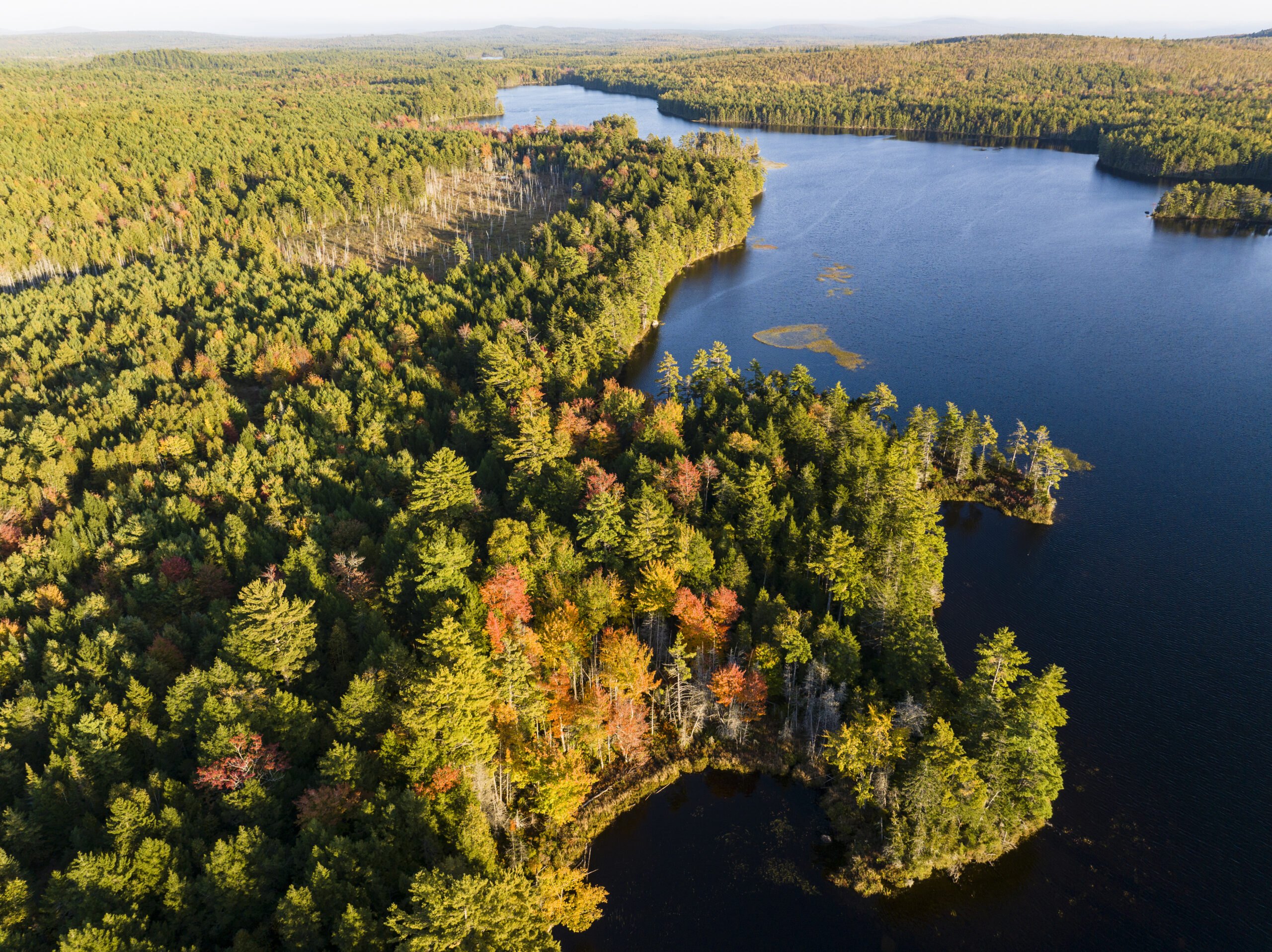
The Narraguagus River is a nationally significant cold‑water system flowing from the forested uplands of eastern Maine through extensive blueberry barrens, villages, and the historic mill town of Cherryfield before entering the Gulf of Maine. Its upper watershed is entirely forested industrial timberland, while its lower reaches flow across a glacial outwash delta that is a focal point for Maine’s lowbush blueberry industry and whose cold-water aquifer creates exceptional habitat for Atlantic salmon.
The Narraguagus is one of the few rivers on the entire eastern seaboard that still retains all of its native diadromous fish species (species that migrate between saltwater and freshwater environments), including Atlantic salmon, shad, alewives, sea‑run brook trout, and American eels.
For centuries, the river has shaped the cultural and economic life of the Town of Cherryfield. Lumber mills operated here as early as the 1750s, and the river supported a vibrant post‑WWII sport‑fishing tradition. Although Atlantic salmon fishing has been closed since 1997 and this population is listed under the Endangered Species Act, spawning continues, and the river remains a focal point for community identity and river‑based recreation.
The Narraguagus is a priority in Maine Coast Heritage Trust (MCHT’)’s Rivers Initiative, a coast‑wide effort to protect and restore key rivers essential to the long‑term health and resilience of the Gulf of Maine, because it represents one of the most promising restoration opportunities in the region. With strong community support, extensive partner collaboration, and years of upstream restoration already completed, the river is poised for transformational recovery.
Partners in this initiative work include the Cherryfield Select Board and community; Downeast Salmon Federation; The Nature Conservancy; Atlantic Salmon Federation; National Oceanic and Atmospheric Administration Fisheries; Maine Department of Marine Resources; Bureau of Sea Run Fisheries and Habitat; and Project SHARE.
Conservation Successes and Priority Projects
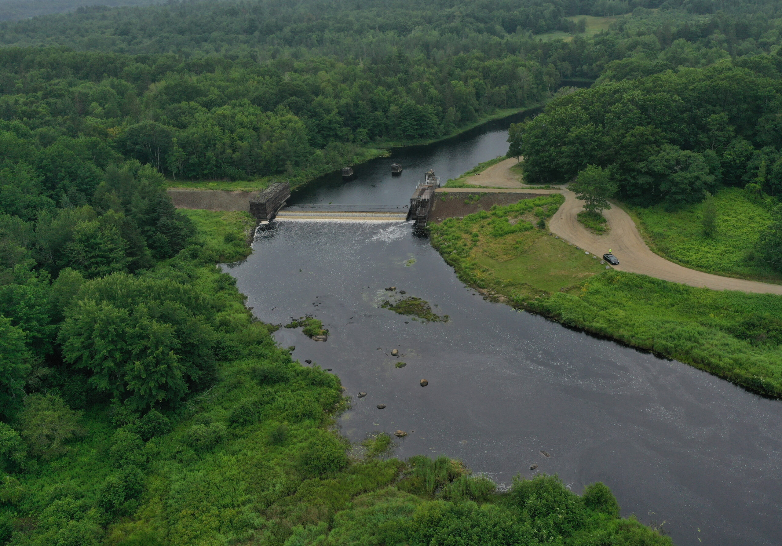
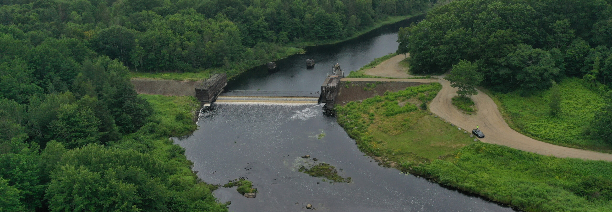
Replacing the Ice Control Dam
The Ice Control Dam in downtown Cherryfield — built by the Army Corps of Engineers in 1960 — is the only main‑stem barrier on the river.
Its antiquated fishway impairs access to more than 90 percent of the watershed’s habitat. Construction of a new nature‑like fishway begins in summer 2026 through a partner agreement among The Nature Conservancy, Atlantic Salmon Federation, Downeast Salmon Federation, and MCHT, in collaboration with the Town of Cherryfield. The town voted 47 to 0 in favor of the new fishway project.
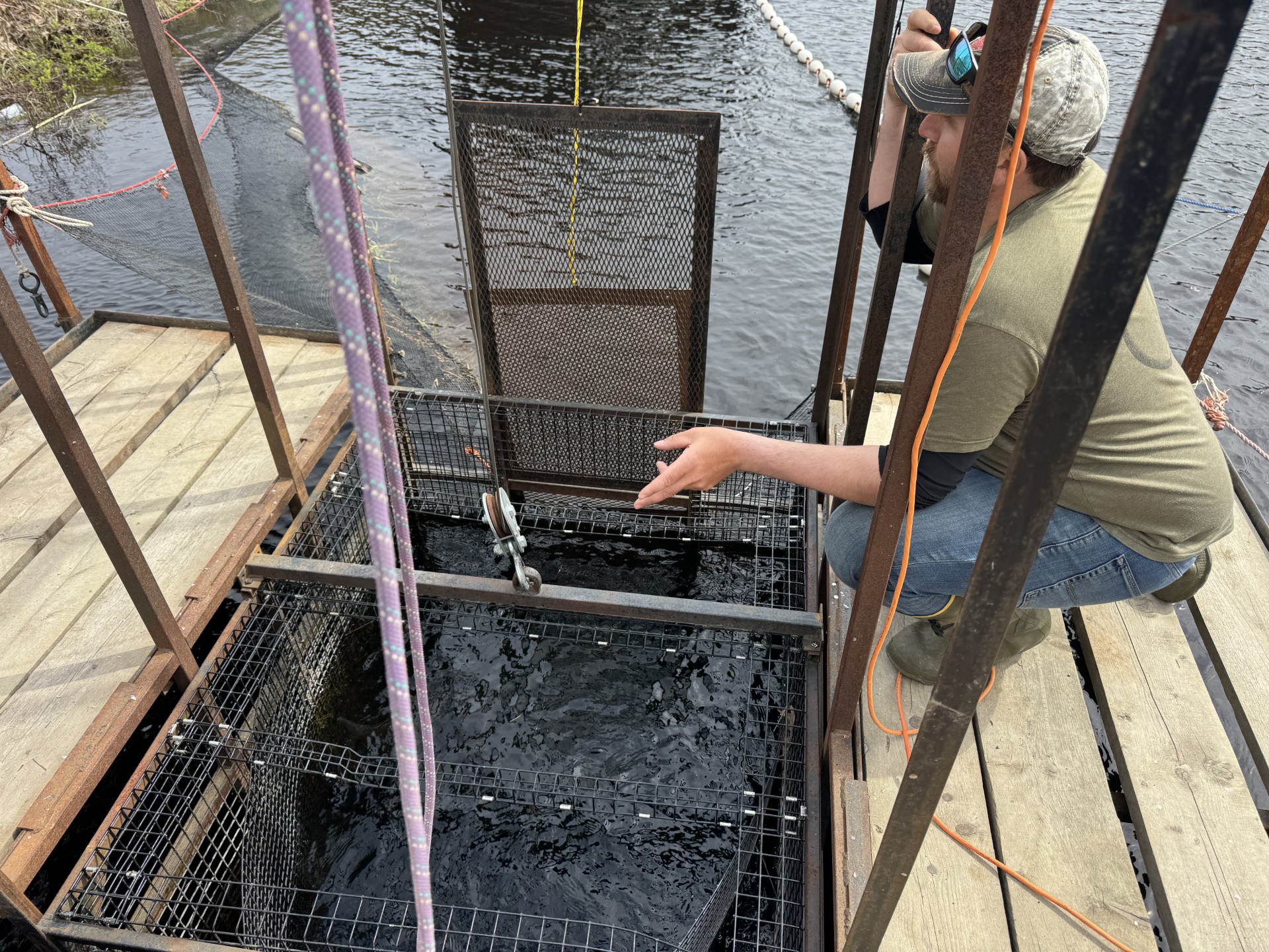
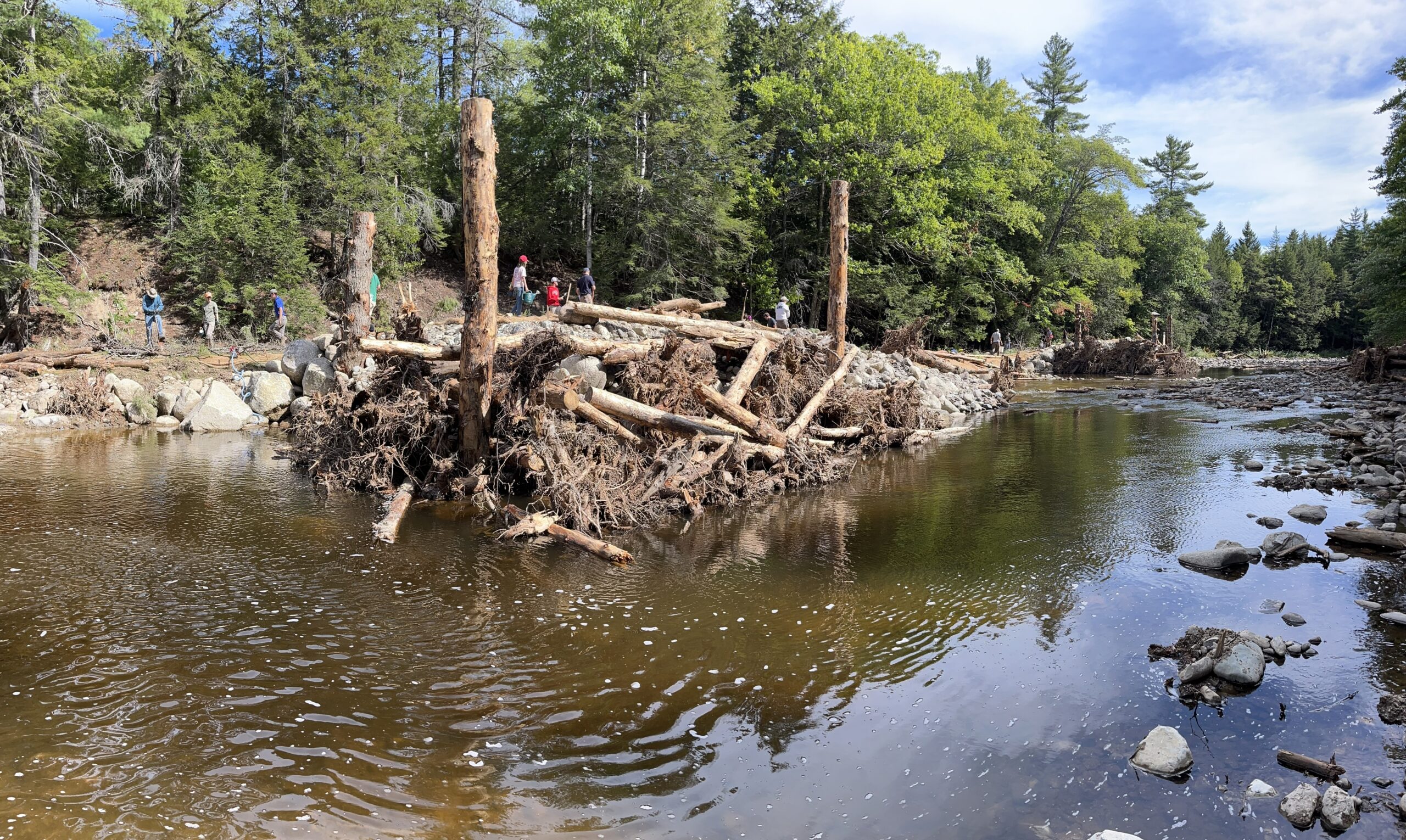
Unprecedented Upstream Restoration
Over the past 30 years, Project SHARE (Salmon Habitat and River Enhancement) — with support from MCHT since 2018 — has replaced culverts, installed engineered log structures, and added large wood throughout the upper watershed. Nearly all upstream barriers have been addressed, creating a rare opportunity for population‑level recovery once the main‑stem passage is restored.
Strengthening Community Access and Local Benefits
Cherryfield’s Riverwalk Committee is developing interpretive signs to share information about natural history, salmon ecology, and the town’s mill heritage. Citizen‑science projects engage residents in water quality, invasive species monitoring, and seasonal ecological observations. The Riverwalk connects directly to the Downeast Sunrise Trail, expanding recreational access and drawing visitors into town.
By the Numbers
26,000
acres conserved in the watershed
45,000
contiguous acres of contiguous conservation from the Narraguagus to Donnell Pond
90%
percent of habitat that is currently blocked by the Ice Control Dam to be reopened starting in 2026
12
upstream restoration projects completed
One of the only East Coast rivers retaining all native diadromous fish species, including the endangered Atlantic salmon.
Vision for the Future
Success on the Narraguagus means a river where salmon, alewives, shad, and sea‑run brook trout move freely from the headwaters to the sea; where restored fish runs support local traditions and coastal fisheries; and where Cherryfield’s cultural, economic, and recreational ties to the river continue to deepen. It means a watershed where forests, wetlands, and cold-water streams remain connected and resilient, and where community members — especially students — learn, explore, and participate in the river’s recovery. A thriving Narraguagus is a river full of life, rooted in history, and restored for generations to come.
For More Information:
Jacob van de Sande
Associate Director of Land Protection
(207) 259-5040
Email Jacob
Bob DeForrest
Land Protection Manager
(207) 801-4053
Email Jacob