Frank E. Woodworth
Harrington
Jump to
Guidelines
What You Need to Know
- No camping permitted
- No fires permitted
- Stay on established trails
- foot traffic only (not suitable for wheeled vehicles)
- Carry out all trash (see details)
- Keep pets under control
- Respect privacy of preserve neighbors
- Do not remove archaeological artifacts
Why we Care
A Quiet Coastal Escape
Hit the trail and enjoy the rugged terrain of Frank E. Woodworth Preserve on its 2.4-mile loop trail. While you explore, keep your binoculars handy to watch for migratory shorebirds and waterfowl enjoying a snack on the waters of Pleasant Bay. This quiet, beautiful coastal preserve is a landscape we’re committed to protecting for generations to come.
Features
How to Get There
The preserve is located 8 miles down Marshville Road from Route One in Harrington. At the Harrington Town Landing the road turns to gravel. There is no boat launch site at the preserve, nor is the road plowed in the winter. Parking is on the left at the trailhead and is limited to four vehicles. If the lot is full, please return another time. The road beyond this parking lot is a dead end and services only the Ripley summer community. Please respect their privacy.
Explore the Map
View this preserve’s trails and features on the interactive map or download a printable copy above.
Preserve Details
Property:
Town:
County:
Accessible:
Field Notes
Getting to Know Frank E. Woodworth
The Path to Conservation
The preserve is named for a local fisherman who was a longtime friend to the George Milmine and Joseph Parsons families that owned land on Willard Point for nearly a century. The Milmines donated “forever wild” conservation easements on much of their land in the 1980s. MCHT later acquired the land in 2007 with support from the Land for Maine’s Future Program.
On the Preserve
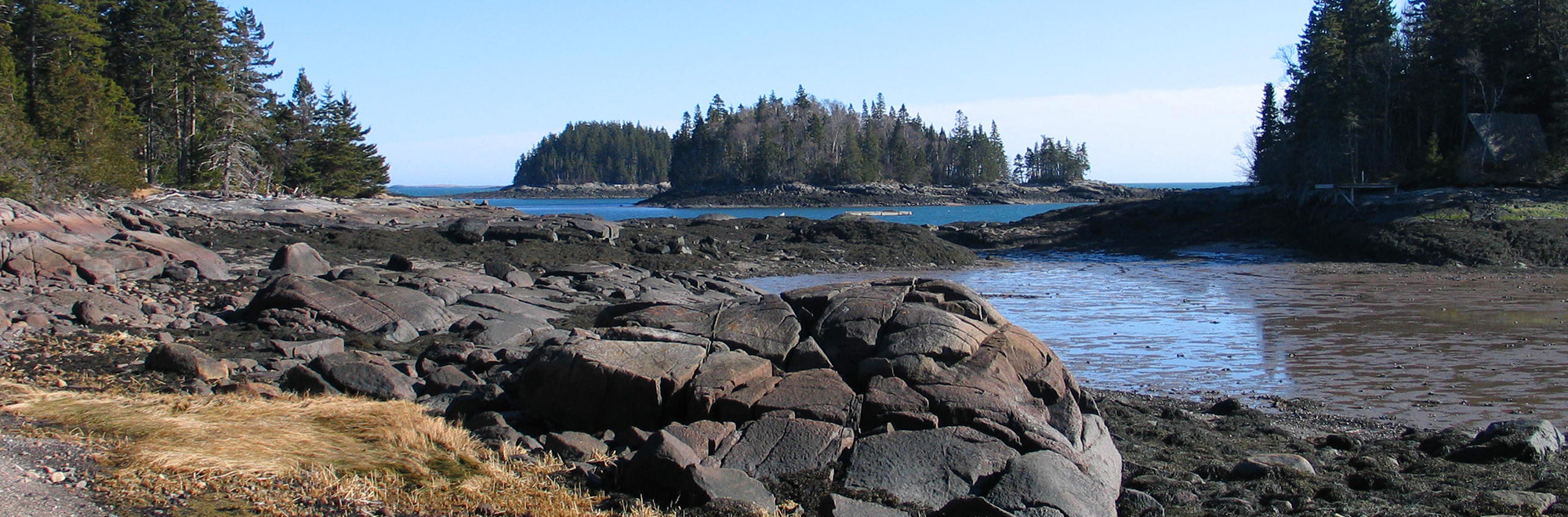
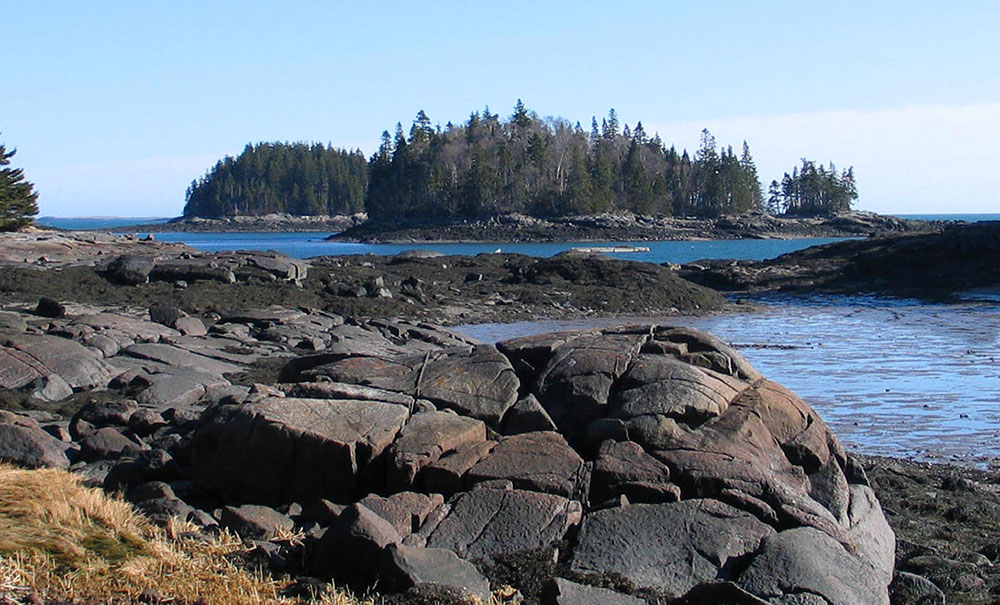
The Frank E. Woodworth Preserve is located on a long peninsula jutting into Pleasant Bay, a scenic and ecologically-rich region in Washington County. The property includes 127 acres on Willard Point (at the end of Ripley Neck), the 3-acre Hog Island, and the smaller Peter and George Islands.
A 2.4-mile loop trail winds through moss-carpeted woodlands, featuring red spruce, white birch, balsam fir, and northern white cedar. Many of these trees are more than a century old. The path eventually emerges at the shoreline overlooking the upper reaches of Pleasant Bay. Several tidal rivers converge off Ripley Neck, supporting a wide array of shorebirds and waterfowl.
Please keep in mind that these trails were heavily impacted by recent storms. They have been cleared but footings may be uneven as improvements continue.
Stories from Downeast
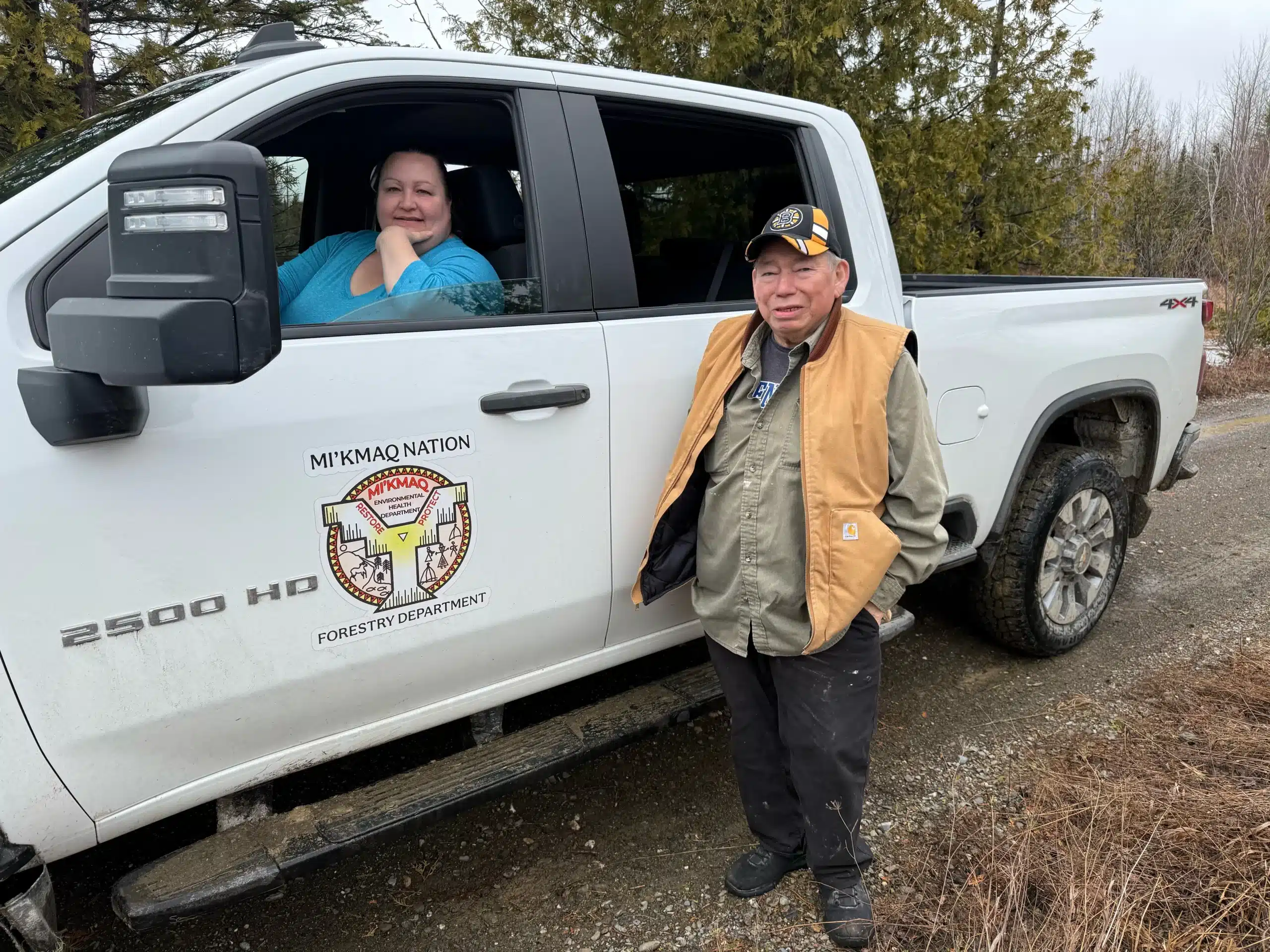
Nature Connects: Mesgilg Maqamigew: Returning “big land”
Last month, the Mi’kmaq Nation acquired its largest contiguous landholding yet, advancing a historic movement to return land and its care to Wabanaki Nations.
Be part of the movement

Contribute to a future with
healthy, open lands & waters
Donate Now

Give your time to help
care for the coast
Volunteer Now

Be a champion
for conservation
Spread the Word
More Information on Frank E. Woodworth Preserve
Help Us Take Care of the Preserve
This preserve belongs to all of us; that’s why it’s important to leave as little trace as possible when you visit.
To do that, please:
- Carry out all trash
- Carry out all pet waste
- Carry out all human waste (including toilet paper)